Construction Progress Drone Photography: What Banks Want in Draw Packages
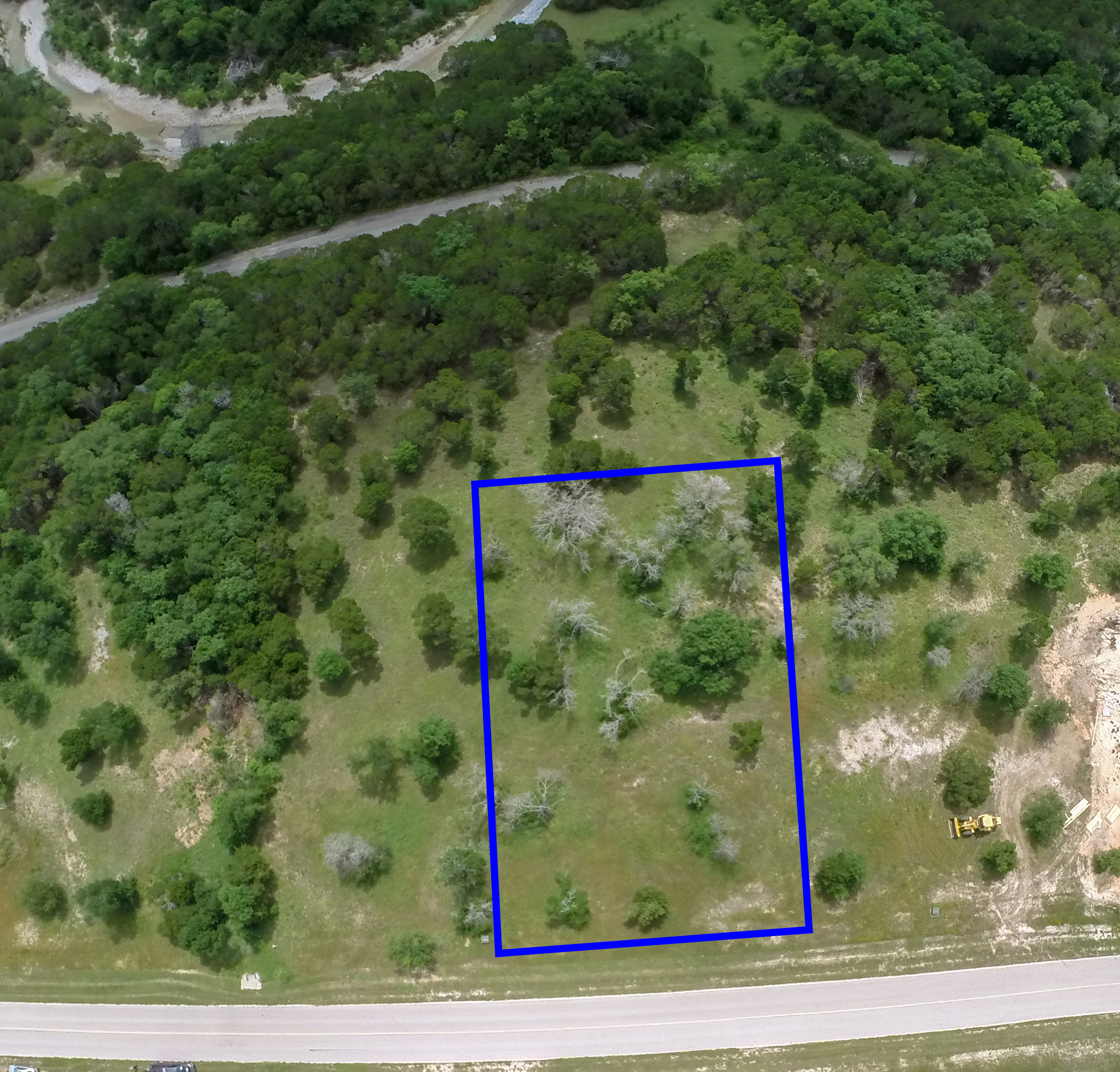
When I first started sending monthly drone updates to lenders, I thought a handful of wide‑angle shots would do the trick. Turns out the bank’s underwriters have a checklist longer than a highway bridge span.
What the lender actually asks for
First off, the bank wants numbers, not impressions. They’ll ask for:
- Altitude: 150‑200 feet AGL, measured with the drone’s barometer and cross‑checked against a known benchmark.
- Shutter speed: 1/2000 s or faster to freeze the motion of crane booms and traffic.
- ISO: 200‑400 for clean, low‑noise files.
- Resolution: Minimum 20 MP RAW, because they’ll zoom in to inspect the condition of a concrete slab.
- File naming: ProjectName_YYYYMMDD_Draw#_01.tif – no exceptions.
If any of those specs are missing, the underwriter sends the file back with a red pen and a note that says “Insufficient documentation.” I’ve seen that happen more times than I’d like to admit.
Pricing the service so the draw stays on schedule
My standard package runs $250 per flight, which covers a 30‑minute sortie, flight planning, and the post‑flight data download. Post‑processing – stitching, color correction, and adding a scale bar – is $150 per month.
A typical $15 M draw request asks for three sets of photos per month. That’s $1,200 a month in photography costs alone. If you’re trying to keep the draw on time – remember, lenders have a 30‑day window to release funds – you can’t afford a delay because the photographer showed up late or missed the altitude requirement.
DFW projects that illustrate the right approach
Last spring I flew over a mixed‑use development in Frisco that was halfway through its foundation phase. By keeping the drone at a steady 180 ft, I captured the exact footprint of the excavation. The underwriter could compare the aerial view to the site‑plan and approve the $4 M draw in just five days.
Contrast that with a project in Southlake where the crew used a handheld camera on a tripod. The images were blurry, the scale was missing, and the bank held the draw for an extra ten days while they demanded a reshoot. That delay cost the developer $75,000 in financing fees.
Another lesson came from a high‑rise tower in Uptown Dallas. The lender required a “progress overlay” – a transparent graphic showing what the building looked like at the start of the draw versus now. I generated that overlay in Photoshop, but the key was that the raw drone data matched the overlay perfectly because the flight parameters were consistent month over month.
How to structure the draw package for maximum impact
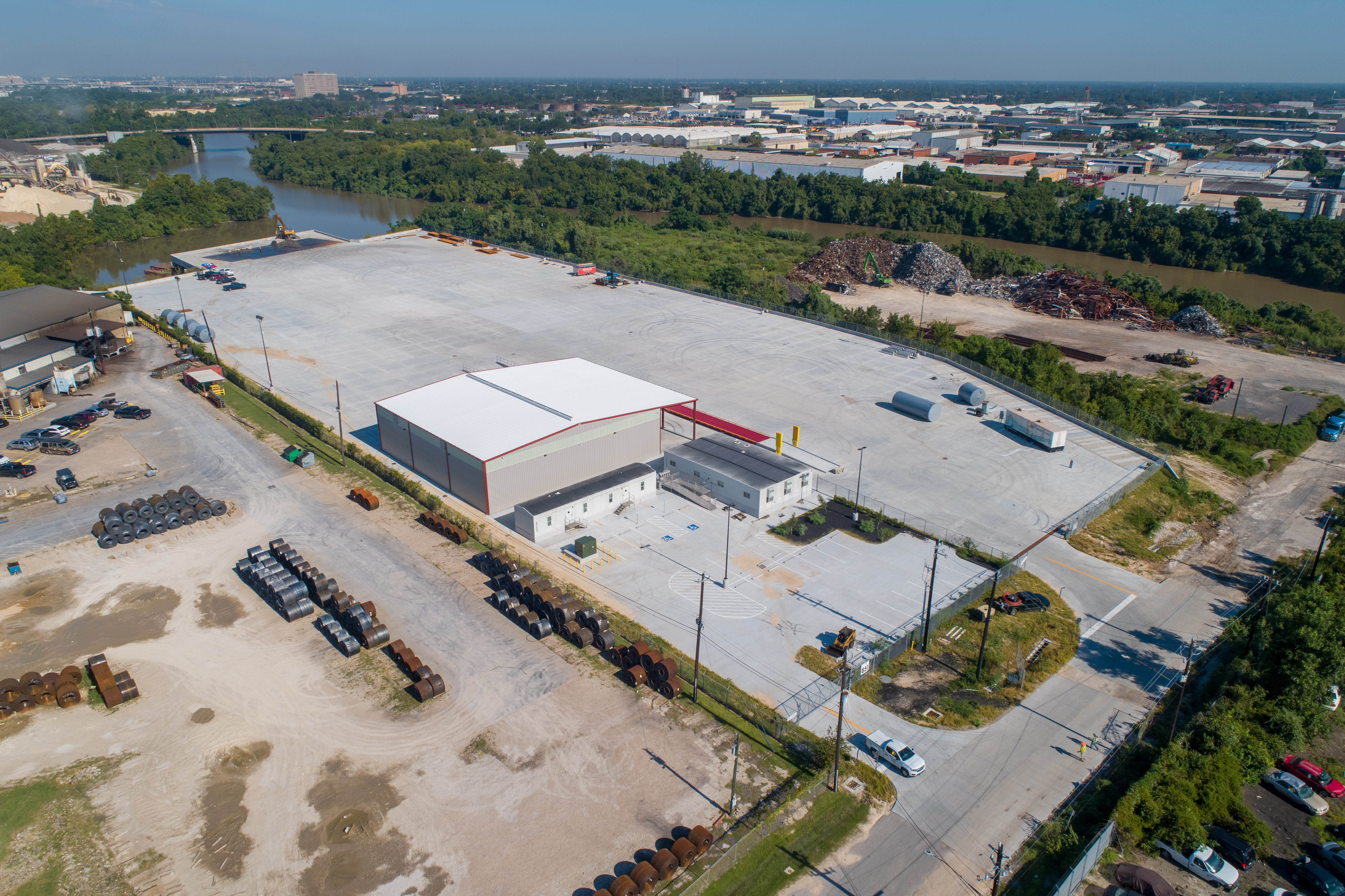
Here’s the template I give my clients:
- Cover sheet: Project name, draw number, date, and a brief narrative of work completed.
- Photo index: Table listing each image file, altitude, shutter speed, and a one‑sentence description of the activity.
- Raw aerial files: The original 20 MP TIFFs, unedited, with EXIF data intact.
- Processed overview: A 4‑by‑6‑inch JPEG collage that shows the site from four cardinal directions.
When the underwriter opens the package, they can verify the altitude in the EXIF, check the shutter speed, and instantly see the visual progress. No back‑and‑forth emails, no extra site visits.
Common mistakes and how to avoid them
Skipping the scale bar. A photo without a scale is like a blueprint without dimensions. I always add a 10‑meter bar in the lower‑right corner.
Using the wrong time of day. Mid‑day shadows can hide critical details. I prefer the golden hour – roughly 7:30 am to 9:00 am in Dallas – because the light is soft and the shadows are short enough to show depth without obscuring the work.
Flying too low. Below 100 ft the drone’s GPS can wobble, and the images become distorted. The bank sees that as sloppy work.
Not keeping a consistent flight path. Changing the flight line each month makes it impossible to compare before/after images. I mark the exact fly‑over line on the first day and repeat it.
Putting it all together for your next draw
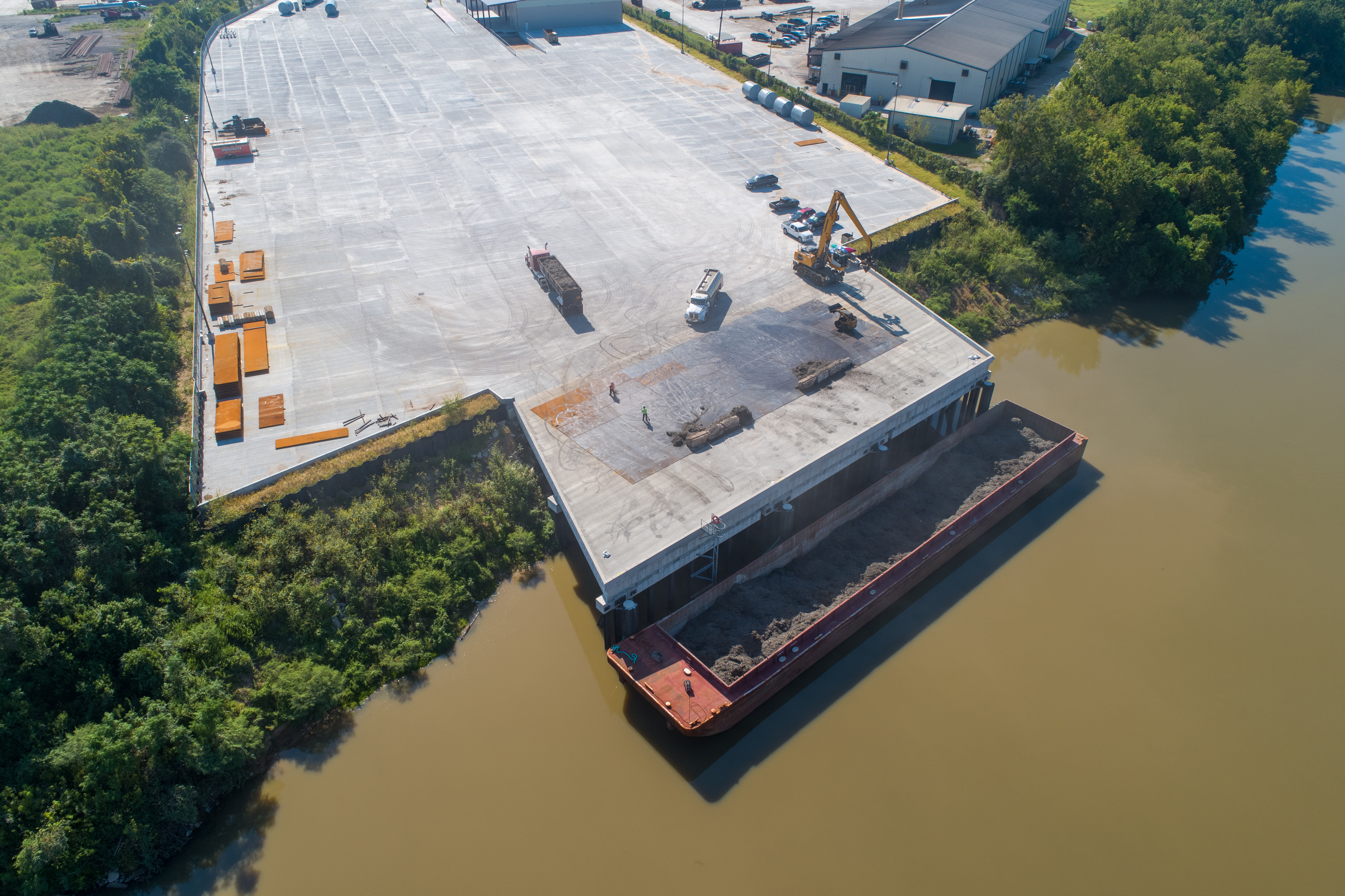
Before you schedule the next flight, pull the contract and locate the draw schedule. Note the exact amount of work the lender expects to see. Then match your flight plan to those milestones. If the draw is for “foundation pour,” focus the camera on the concrete pads, not the office trailers.
Remember, the bank’s goal is risk mitigation. By giving them crisp, data‑rich aerial proof, you’re lowering their perceived risk and speeding up the cash flow. That’s why I always say: good drone work isn’t just about pretty pictures; it’s about concrete numbers that move money.
At the end of the day, a well‑executed aerial progress set can be the difference between a $5 M draw that closes in a week and one that lingers for a month. If you treat the drone as a critical piece of the financing puzzle, you’ll see the returns in faster approvals and healthier project timelines.
Ready to book your aerial photography session?
Get a Free Quote