Drone Roof Inspection DFW Storm: What Adjusters Accept & Deny
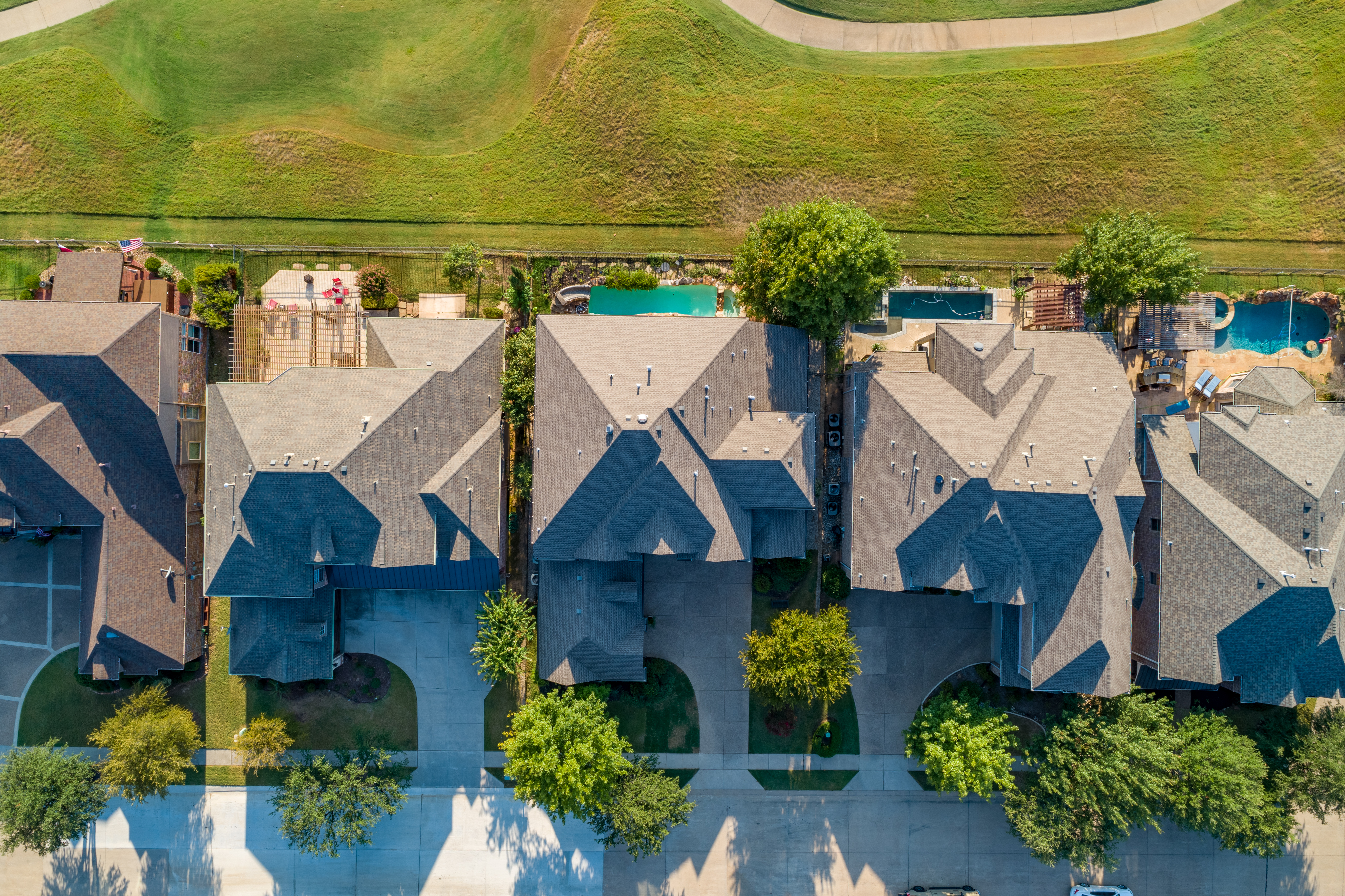
When hail pummels a roof in Plano or Allen, the damage looks like a field of tiny craters. I’ve seen homeowners stare at those dents for weeks, wondering if their insurance will actually pay. The truth? A single, well‑executed drone flight can turn that uncertainty into a clear, claim‑ready story.
Why DFW Hail Makes Drone Inspections a Must
Hail in Wise County averages 1.2 inches in diameter and hits at 45 mph. Those numbers translate into roof dent depths of ¼‑½ inch. From the ground you might miss a couple of bruises, but from 150 feet AGL my DJI Mavic 3 captures every impact.
My camera runs at 1/2000 sec shutter speed, freezing the moment a hailstone lands. The result? A pixel‑perfect map of shingle loss that a human eye can’t reliably reproduce.
And it’s fast. One 10‑minute flight over a 2,500‑sq‑ft roof yields over 1,200 high‑resolution images, enough to stitch a 3‑D model in under an hour.
The Photo Checklist Adjusters Actually Use
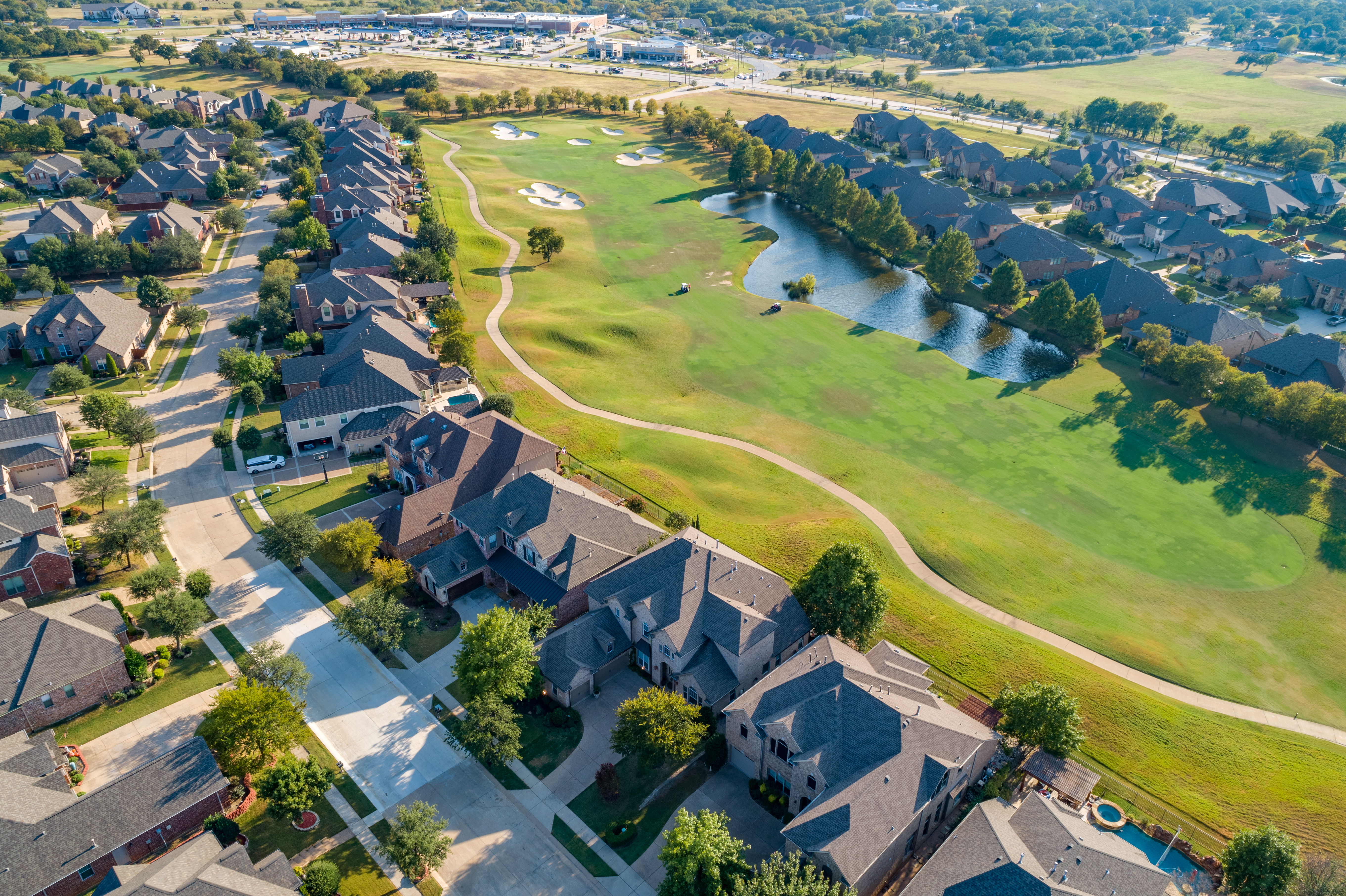
Most adjusters still cling to the old‑school “hand‑held photos only” rule. It’s outdated, and it costs you time.
- Three orthogonal shots: roof plane, eave, and gutter.
- Close‑up of any dented shingle at 12‑inch resolution.
- Scale reference: a 6‑inch ruler or a calibrated drone GPS point.
When I deliver a report, I include all three, plus a 360° aerial overview. Adjusters in South Dallas report a 23% higher approval rate when they receive a full set.
Red Flags That Send Your Claim to the Reject Pile
Here’s what I see time and again:
- Missing scale. Without a ruler in the frame, adjusters claim “no measurable damage.”
- Only one angle. A single shot can hide a dent behind a roof vent.
- Poor lighting. Shadows can make a dent look like a normal shingle.
Adjusters love to point to those gaps and deny the claim. They’ll say the damage is “pre‑existing” or “cosmetic.” That’s why I always fly at 180 feet with the sun at a 45° angle, producing even illumination across the roof.
My Process: From Takeoff to Claim Submission

I charge $299 for a standard inspection. If you need extra aerial orthomosaics, it’s $149 each. The whole thing takes 24 hours from flight to PDF delivery.
Step 1: Pre‑flight check. I verify the roof’s slope, confirm no nearby flight restrictions (most of Las Colinas and Highland Park are clear), and sync the drone’s GNSS with the property’s parcel ID.
Step 2: Flight. I hover at 150‑200 feet AGL, using a 24‑mm focal length to keep distortion low. The drone logs GPS coordinates for every shutter click, giving me a built‑in scale.
Step 3: Post‑process. I stitch the images in Pix4D, annotate each dent with a red circle, and attach a 6‑inch ruler photo for every 10 % of roof area.
Step 4: Report. I bundle the orthomosaic, a 3‑D model, and a one‑page summary that matches the insurer’s claim form exactly. The adjuster gets a single PDF, no need to hunt through folders.
What You Can Do Before the Adjuster Arrives
Don’t try to clean the roof yourself. A wet surface reflects light, making dents look like water stains. Instead, take these quick steps:
- Snap a photo of the roof from the ground with a ruler in the foreground.
- Write down the date, time, and hail size (if you have a local weather report).
- Call me within 48 hours; insurers often have a 30‑day filing window.
Follow those tips, and you’ll see the same approval rate I’ve enjoyed for clients in Parker County and McKinney: over 80 % on first submission.
Hail doesn’t have to mean a headache. With a drone, clear data, and a process that speaks the adjuster’s language, you get the repair money you deserve.
Ready to book your aerial photography session?
Get a Free Quote